Unveiling Utah’s Ground-Penetrating Radar Soil Suitability Map
In the dynamic landscape of utility and contract locating, precision and efficiency are paramount. Ground-penetrating radar (GPR) technology has emerged as a game-changer, providing invaluable insights into subsurface environments. Among the pioneers in this field, the State of Utah, in collaboration with the Natural Resources Conservation Service (NRCS), has unveiled a groundbreaking Soil Suitability Map, leveraging GPR technology to enhance resource management and conservation efforts across the state.
https://intermtnsales.com/wp-content/uploads/utah_gpr.pdf
Understanding Ground-Penetrating Radar (GPR)
Ground-penetrating radar (GPR) is a non-invasive geophysical method that uses high-frequency radio waves to image the subsurface. By emitting these pulses into the ground and measuring the reflected signals, GPR systems can delineate variations in soil composition, moisture content, and geological features without the need for excavation.
The Significance of Soil Suitability Mapping
Soil suitability mapping plays a pivotal role in various industries, from agriculture and construction to environmental conservation. By mapping the spatial distribution of soil properties and characteristics, stakeholders can make informed decisions regarding land use planning, infrastructure development, and natural resource management.
Unveiling Utah’s GPR Soil Suitability Map
Utah’s GPR Soil Suitability Map, a collaborative effort between the State of Utah and the NRCS, represents a milestone in precision resource management. Drawing upon extensive data sources, including the USDA-NRCS Soil Survey Geographic Database (SSURGO) and Roads layer derived from the Bureau of Census, this comprehensive map offers a detailed depiction of Utah’s diverse soil compositions and geological formations.
Key Features and Applications
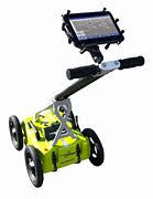
- Utility Locating: GPR technology plays a crucial role in utility locating, enabling contractors and excavation teams to accurately identify underground utilities such as pipelines, cables, and storage tanks. By incorporating GPR data into their workflow, contractors can minimize the risk of accidental utility damage and enhance workplace safety.

Contract Locating: The GPR Soil Suitability Map serves as a valuable resource for contract locators tasked with assessing soil conditions and subsurface obstacles. Whether planning trenching operations or installing underground infrastructure, contract locators can leverage this map to streamline their projects and mitigate potential risks.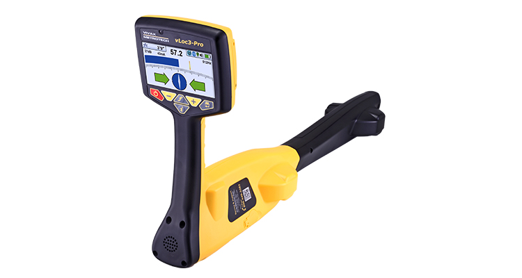
Impulse Radar Technology: The GPR Soil Suitability Map utilizes advanced impulse radar technology to penetrate various soil types and geological formations. This cutting-edge technology enables researchers and land managers to obtain high-resolution subsurface images, facilitating detailed soil analysis and resource conservation efforts.
Collaboration with Intermountain Sales, Inc.: Intermountain Sales, Inc., a leading provider of geospatial solutions, played a pivotal role in the development and dissemination of Utah’s GPR Soil Suitability Map. Through strategic partnerships and technological innovation, Intermountain Sales, Inc. continues to support the advancement of GPR applications in resource management and environmental stewardship. vLoc3-Pro, vLoc3-RTK-Pro, Impulse Radar, GPR, Stonex, Mapping,
Conclusion
Utah’s Ground-Penetrating Radar Soil Suitability Map stands as a testament to the power of collaboration and innovation in resource management. By harnessing the capabilities of GPR technology and leveraging multidisciplinary expertise, stakeholders can unlock new insights into Utah’s diverse landscapes and ecosystems. As we embrace the era of data-driven decision-making, initiatives like the GPR Soil Suitability Map pave the way for sustainable development and conservation practices across the state.